In recent years geospatial information systems have seen an amazing increase in its communicative power and the capability to create knowledge. Today, we no longer merely talk about geospatial information. Rather, we embrace and encourage geospatial thinking as a way of life.
We are living in a dynamic data-driven world where consciously and subconsciously we make the majority of our decisions based on data. The human brain’s unique configuration to conceptualise, draw inferences from data and anticipate is, however, balanced by the dangers of being led astray by its biases and intuitive traps. For example, being fooled by assuming all data is valid or accurate.
Conversely, being intimidated or repelled by the idea that algorithms might know more than people do.
However, geospatial thinking – which, in essence, is purely about problem-solving allows geospatial information science to demystify nearly-impossible-to-understand data and transform it into visual spatial formats which are easy to digest and comprehend.
Considering that all systems are data-driven and that nearly 80% of all business data has some kind of location reference, Gis should then essentially play an integral role in most, if not all, business sectors. Yet geospatial information systems remain the most under-utilised tool in most organisations' business intelligence tool kits.
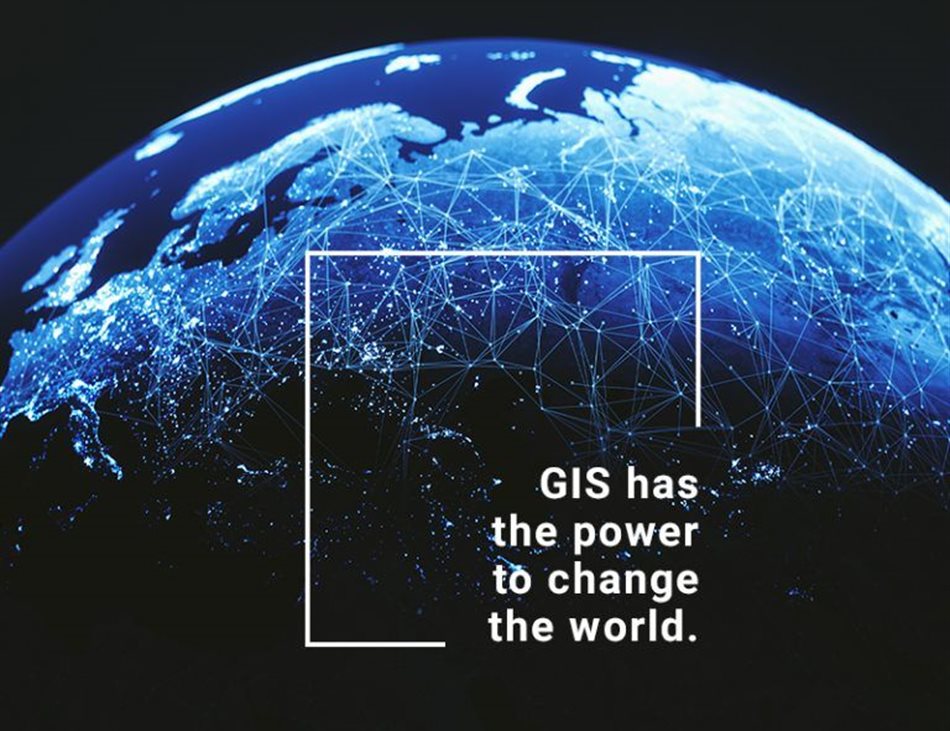
We believe that Gis has the power to change the world. We just need to make sense of the data.
Understanding Gis
AfriGis’s dedicated team of data scientists applies innovative geospatial thinking to imagine and develop the future of location-based intelligence and bring to life the endless possibilities of how it could be applied.
It is our belief that the power of Gis lies in its ability to transform organisational outcomes. That location-based intelligence solutions enhances customer satisfaction, grows revenue streams, streamlines operational performance, and ensures sustained profitability – regardless of the business sector.
We apply a multi-tiered approach (data, mapping, search and geoscience) to transform the way in which businesses do business. These approaches are integrated to provide a comprehensive insight of ‘where’, complementing the ever-popular maxim of 'location, location, location'.
By applying these spatial approaches in innovative ways, we can extract an invaluable amount of location data with significant benefits, including, but not limited to:
- Improved decision making: decisions are made more easily due to specific and detailed information presented about one or more locations.
- Reduce costs and increase efficiency – optimised dispatch, delivery and route planning.
- Detailed customer insights and behavioural patterns
- Verified and validated data for accurate record-keeping
- Comprehensive asset management
- Identify risk faster
- Visualisation of complex data
- Improved communication – visual formats are more easily understood by all
- Greater transparency
- Enhancing project and company revenue streams
- Increased business profitability
- Greater business management – knowing what is and will be occurring in a geographic space in order to plan a course of action.
Once you realise that every critical decision and every business risk has a location element, you start seeing the power behind understanding your ‘where’.
In understanding the current capabilities of geospatial information science we can start to imagine the future thereof, conclusively knowing that it stretches far beyond map-making.
At AfriGis we are scientists, innovators and developers continuously working towards locating and building the future through location-based intelligence.
Whether we are talking about smarter cities, sustainable urbanisation, community empowerment, improved risk analysis, reaching the ideal clientele, or tracking agricultural produce and consumables. Speak to one of our experts to locate your future through our innovative custom location-based solutions by establishing your sense of ‘where’.